Atlases provide a standard assessment of the current status of breeding birds, and lay the framework for evaluating long-term changes. The results are critical to conservation decision-making as birds are effective indicators of environmental health. Birds respond quickly to environmental change, occupy every habitat type, and are relatively easy to survey.
In collaboration with numerous partners and thousands of volunteer Citizen Scientists, Birds Canada is mapping breeding bird distribution and relative abundance across the country. Canada’s National Atlas Program is a partnership between Birds Canada, Environment and Climate Change Canada, provincial governments, natural history organizations, and the private sector. Since the year 2000, breeding bird atlases have been completed in British Columbia, Manitoba, the Maritimes, and Québec. Atlases currently are under way in Newfoundland, Ontario, and Saskatchewan,
National Atlas Program results drive conservation policy, Species at Risk recovery, habitat management and stewardship, land acquisition, and more!
Citizen Science volunteers are needed for active atlas projects–we’d love to hear from you!
To learn more and get involved in Ontario, contact, contact the Atlas Office, atlas@birdsontario.org
To learn more and get involved in Saskatchewan, contact LeeAnn Latremouille, skatlas@birdscanada.org
To learn more and get involved in Newfoundland, contact Dr. Catherine Dale, cdale@birdscanada.org
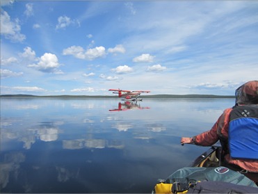
Photo: LeeAnn Latremouille
This workshop covers basic birdwatching tools, fundamentals of bird ID, and an overview of some bird groups found in Saskatchewan and the Canadian Prairies. It was presented and recorded by LeeAnn Latremouille, Saskatchewan Breeding Bird Atlas Coordinator, Birds Canada. More resources for atlassers in Saskatchewan can be found here.